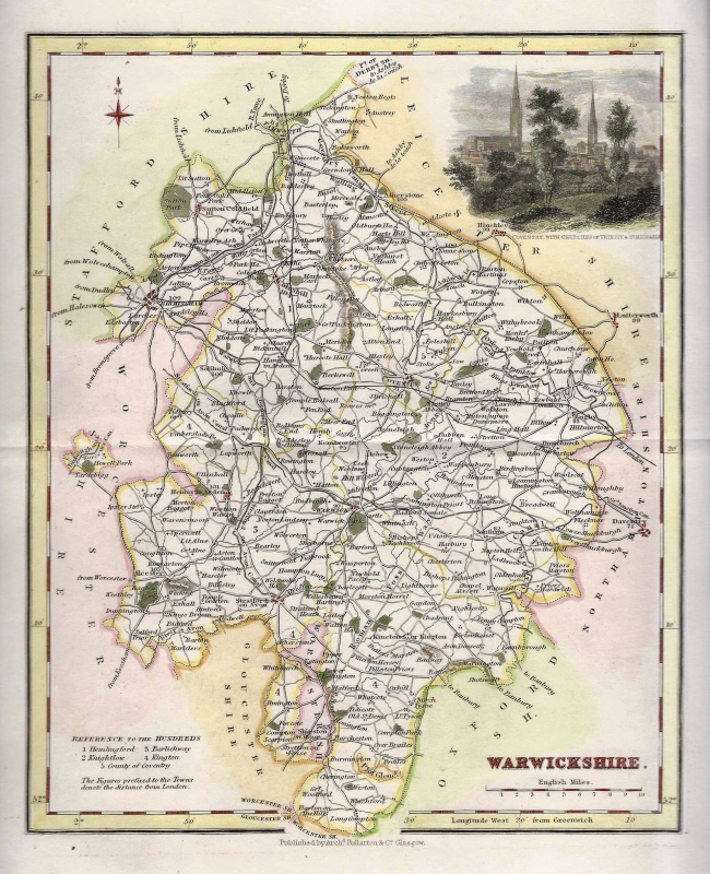
A finely engraved and detailed 19th century map of Warwickshire which was published in Sydney Hall’s Travelling Atlas (London: Chapman & Hall, 1842). An interesting feature of county maps of this period is the depiction of the then newly constructed (or proposed) railways. This is an original steel engraving with original hand colour. Printed area is approximately 19cms by 25.5cms. The map is in very good condition with decent margins; centrefolded, as issued. There is a vertical fold which runs to the left to the right border. Click on image for a better view. The itemcomes displayed in a ready to frame acid free mount. Click on ‘Delivery Policy’ for postage costs. Guaranteed to be over 165 years old.