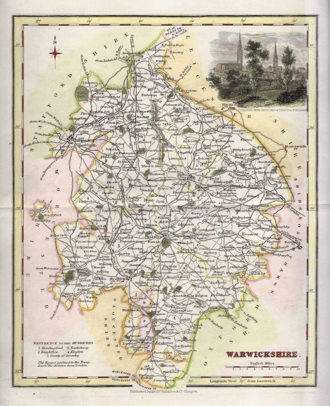
‘WARWICKSHIRE’ (full wash colour) by G. Cole & J. Roper c.1807 / 1810
$31.16
$53.91
A detailed and attractive early 19th Century map of Warwickshire, with full wash colour, which was drawn and engraved by G. Cole & J. Roper respectively and published in The British Atlas (London: Vernor, Hood & Sharpe, 1807-1810). This is an original copperplate engraving with fine original hand colour. Printed area is approximately 17.5cms by 24cms (including imprint). The map is in very good condition with decent margins. Click on image for a better view. The item comes displayed in a ready to frame acid free mount. Click on ‘Delivery Policy’ for postage costs. Guaranteed to be over 200 years old.