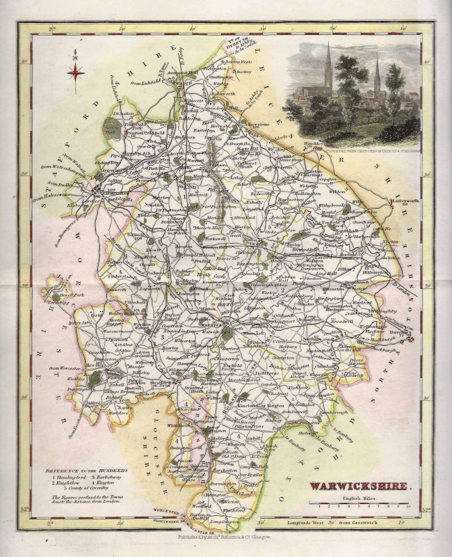
An attractive, detailed and finely executed 19th century map of Warwickshire which was published in the Improved Edition of the New British Atlas, Containing a complete Set of County Maps (London: Henry Teesdale & Co., 1832). The maps from this series were originally published and probably drawn and engraved by Robert Rowe in 1813. This is an original copperplate engraving with fine original hand colour. Printed area is approximately 33.8cms by 41.3cms (including imprint). The map is in very good condition with decent margins; centrefold, as issued. There is some offset. Click on image for a better view. Click on ‘Delivery Policy’ for postage costs. Guaranteed to be over 175 years old.