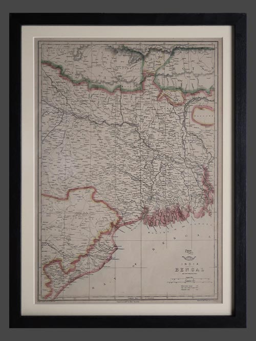
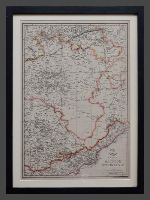
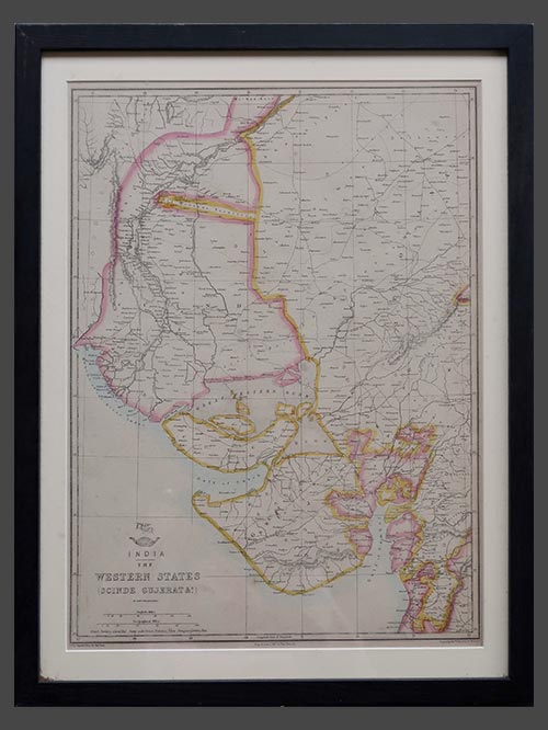
Description Original copper-engraved maritime map by Commander L.S. Dawson, R.N. and Officers of the Royal Indian Marine This large pair of nautical sea charts are based on extensive surveys conducted between 1881 and 1921. Commander L.S. Dawson, R.N., chiefly charted the western coastline and harbour approaches, assisted by the Surveying Officers of the I.G.S. Investigator during 1881–82, while the Port of Bombay and its eastern harbour were mapped by officers of the Royal Indian Marine under Commander E.H. Dauglish, R.I.M., in 1920–21. Originally published in 1885, the chart underwent a new edition in 1935 and includes corrections up to 1956. As a working navigational aid issued by the British Admiralty, it was regularly updated, often by hand annotation or printed overlays, and may feature manuscript navigational notes, markings, or commentary. These are folding maps, characteristic of those used aboard ships for practical maritime navigation. Commander Llewellyn Styles Dawson of the Royal Navy was a pivotal figure in British hydrography and head of the Marine Survey of India. Selected in 1881 to lead the newly reorganised service aboard HMS Investigator, he was specifically promoted to commander for that role. Dawson had previously built extensive surveying experience across the Mediterranean aboard HMS Medina and Hydra, followed by work in China, Japan, the Yangtze River, and the Red Sea aboard vessels such as HMS Sylvia and Serpent Dawson also authored Memoirs of Hydrography, a two-volume history and set of biographies covering naval surveying officers active between 1750 and 1885—testimony to his scholarly contribution to the field. His long service culminated in retirement as captain in 1897, and his work set a benchmark for accuracy in Admiralty navigation charts. Framed Sizes (cms): 118.5(H) x 83(W) each Framed Sizes (inches): 46.5(H) x 32.5(W) each